MUSEUMS & HISTORY
If you look closely, the land here tells a story. It tells of the great migrations of bogong moth – now endangered – that once attracted Nations from far and wide to the alpine peaks; it tells of the clash of cultures, loss, colonial thirst for land and the pockmarks left by gold fever. If truth be told, it's a fierce and often unpleasant history. But, it also shines with love and resilience: the bonds of family and culture, community and survival; the seduction and promise that enticed generations of newcomers to this land. From snow to hydro, dairy, tobacco, forestry and tourism, it's the story of us, our learnings and our dreams for the future, here in beautiful Bright & Surrounds.
THIS IS OUR STORY
AKNOWLEDGEMENT OF COUNTRY
We acknowledge the Dhudhuroa, Taungurung, Waywurru, Gunaikurnai and Jaithmathang as the First Peoples and Traditional Custodians of the Alpine Shire, which encompasses the land, water and sky of Bright & Surrounds. We recognise the ancient and continuing presence of the First Peoples on these lands and their important role as caretakers of Country. We pay our respect to their Elders, past, present and emerging.
FIRST PEOPLES
Within the alpine peaks, river valleys and high plains of Bright & Surrounds are the boundaries where the traditional lands of the Dhudhuroa, Taungurung, Waywurru, Gunaikurnai and Jaithmathang meet. These Nations – each distinct in its culture, lore and spiritual connection to Country – lived side by side for tens of thousands of years.
The land, water and skies around us are of great significance to the First Peoples. Everything here has been created by ancestral beings, the signs of which are deeply intertwined with all aspects of existence.
For countless generations, to coincide with the annual bogong moth migration, Nations from around Victoria would travel to the alpine peaks to take part in ceremonies, feast on the nutritious moth, trade, settle disputes and perform marriages. Many of the trails ascending the mountains today are the same sacred routes created by the First Peoples and travelled only by those who had been invited and initiated.
UNCOMFORTABLE TRUTH
It is an uncomfortable truth that Australia's colonial history, which is generally glorified by our nation, was deadly and destructive to the continent's First Nations People. This is particularly true for the First Nations Peoples of North East Victoria, who suffered greatly as a result of massacres, murders, disease, displacement, malnutrition and alcohol.
The First Peoples who survived the Frontier Wars carried significant trauma. A few are believed to have gone to live on pastoral runs while survivors from the Ovens Valley, Kiewa Valley and Mitta Mitta were taken to the Aboriginal Reserve at Tangambalanga, created in 1864. At this time, 45 First Nations people were recorded as living in Tangambalanga, reflecting the severity of genocide that had swept the region. Meanwhile, there were reportedly five remaining Jaithmathang who were removed from Country and later incorrectly recorded as extinct. By 1872, the policy of removing First Nations children from their families was in force across North East Victoria, further crippling the surviving communities.
THE PASTORALISTS
Explorers Hume and Hovell travelled near Myrtleford in 1824 looking for new pastoral land. Following their return to Sydney, word spread that abundant well-watered grazing lands lay south of the Murray River on the plains of North East Victoria, and by 1837, squatters from NSW had driven their cattle down to seize the land and establish their pastoral runs. Many of the town and place names throughout our region today are derived from the names of these early pastoral runs, such as Buckland, where Thomas Buckland established his run in 1845.
Historical letters show that some pastoralists established good relations with the First Nations Peoples and allowed them to take cattle from the hunting grounds the settlers had occupied. But for most, it was dangerous and uncertain times with frequent skirmishes initiated by both sides during a period of time known as the Frontier Wars.
Some squatters, such as George Faithfull, took a particularly antagonistic and violent approach, seeking to drive all First Peoples from the land he had usurped. With no law enforcement in the region to police the behaviour of such squatters, clandestine murders, arsenic poisonings and massacres – such as the Oxley Plains Massacre of 1838 – swept through the region with devastating consequences. By the time the Victorian Government began to inquire about the 'disappearance' of the First Nations Peoples and dispatched a 'Protector of Aborigines' to the region in 1839, countless lives had already been lost and the Nations ripped apart.
GOLD FEVER
The rapid decline in the populations of the First Nations was exacerbated by disease and alcohol – which was widely used as a currency in the 1800s – and further by the discovery of gold by W.H. Pardoe in the Buckland Valley in 1853. Soon, 3,000 migrants seeking their fortune had descended on the Buckland Valley, setting up shanty towns and alluvial gold mines, sluicing and panning along the river.
Living conditions were poor, the weather was harsh and supplies were scarce. As such, disease soon spread, causing the death of around 1,000 miners who are buried in unmarked graves throughout the Buckland. Soon, only 500 miners were left and attention turned to new claims on the Ovens River and Morses Creek. The rivers, once pristine and abundant with fish, had been trashed, destroying a major food source for the surviving First Nations Peoples.
By 1856, ongoing gold discoveries stoked the rapid growth of the settlement of Morses Creek – which is now known as Bright. The settlement was named after F.H. Morse, a former worker on the MacKay pastoral run who had explored the gold-bearing Ovens River and Morses Creek.
THE BUCKLAND RIOT
The promise of gold attracted immigrants from all over the world. Approximately 2,000 Chinese arrived in the Buckland Valley, sifting through the claims that had been abandoned, and their success stoked jealousy and racism. Following the construction of a Chinese temple, a group of Anglo-Saxons, Americans and Europeans gathered at the Buckland Hotel on 4 July 1857 and voted to evict the Chinese at gunpoint.
What's now known as the Buckland Riot, quickly spun out of control, reportedly fueled by Americans and alcohol. Around 100 rioters raided Chinese stores and houses, attacking those they found. An unknown number of Chinese were murdered or beaten and many others escaped, making their way to areas like Harrietville.
Police arrived from Beechworth to quash the riot under the command of Robert O'Hara Burke (who later embarked on the ill-fated Burke and Wills expedition), and a permanent police camp was soon established in Buckland. As conditions stabilised, the Chinese were invited to return, although only around 50 ever did. Eventually, a lockup was built at the police camp in 1860, followed by a Court of Mines in 1861. Both can still be seen today on Park Street, Bright, where they were moved in 1873 to serve as a court of petty sessions.
BOOM TIMES
By 1866, the swelling gold-mining settlement at Morses Creek had been renamed Bright after the British liberal politician John Bright, and the town's role as an administrative centre grew. Shops, hotels, banks, schools and a horse racing track near Racecourse Road were established and newly surveyed streets were named after politicians and lawyers of the time.
In 1883, the opening of a train line from Everton to Myrtleford, followed by an extension to Bright in 1890, brought with it a new economic boost: tourism.
For city dwellers, the allure of Mount Buffalo's snow and fresh mountain air was strong and in 1898, the area around The Gorge was protected under what is now part of Mount Buffalo National Park. The Mount Buffalo Chalet – Australia's largest timber building – was built at The Gorge in 1910, followed by the country's first ski tow in 1936.
Meanwhile, gold continued to be found, with the underground tunnels of reef mines cut deep into hillsides from Gapsted all the way up to Mount Hotham. While alluvial mining began to dry up around the 1890s, the reef mines continued up until the 1940s, with a couple of small mines still licensed today. The remnants of these old reef mines dot the valley and many street and place names are derived from the mines that once operated there. Two mines can be easily spotted from the Great Alpine Road at the base of Reform Hill in Myrtleford.
GOLD DREDGING
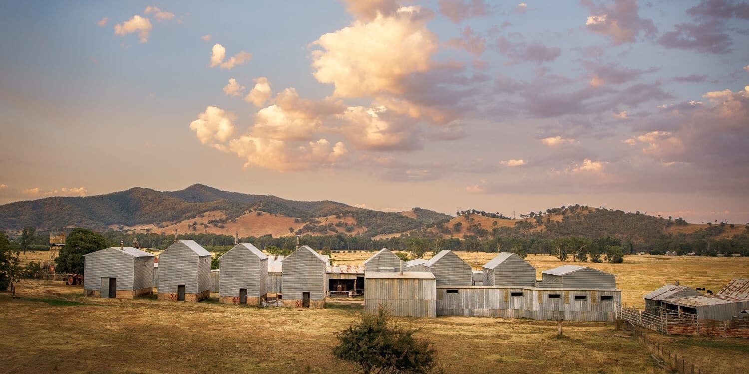
As alluvial finds dwindled, the new and destructive technology of bucket dredging allowed mining to boom once again in the early 1900s, attracting gold mining companies to the region. At least 115 bucket dredges operated in Victoria between 1899 and 1973, with a third of these tearing up the valley floor along the Ovens River, mainly between Eurobin and Harrietville. The largest of all was Harrietville's Tronoh Dredge.
Today, although nature has reclaimed its rightful place, the forest floor bears the scars of our mining history, with rocky floodplains, sluicing races along the river, rock stacks and open mines a reminder of the township's beginnings.
AGRICULTURE
As the gold boom neared its end, many small-scale miners turned to farming. Upstream of Eurobin, the Ovens Valley had been largely stripped of its soil, washed away by the destructive gold dredges that once dominated the landscape. To stabilise the land, pine trees were planted, supporting the growth of another important industry for our region – forestry.
Meanwhile, around Myrtleford, which had largely resisted the gold-dredging craze, and away from the goldfields in the Kiewa Valley, much of the farmland remained intact. The rich soil proved adaptable to a diverse range of agriculture, with tobacco, hops, grapes, oats, tea, maize, nuts and fruits grown in abundance.
Tobacco farming proved particularly lucrative, with farms cropping up in the Ovens and Kiewa Valleys from the 1920s onwards. Many Italians moved to the area to farm tobacco; some had arrived with the gold rush and others as prisoners of war, interned at the POW Camp at East Whorouly.
When the Second World War ended, the tobacco farms around Myrtleford experienced an influx of Italians and through sheer hard work, many were able to buy their own farms and the tobacco industry began to boom. The large Italian community continues to greatly influence Myrtleford's culture, with food, family and festivals adding a fun flavour to the town.
By 1939, bushfires near Melbourne and a post-war building boom led to a surge in demand for timber from the Ovens Valley. Pine forests were planted on the hillsides of Myrtleford, Bright, Happy Valley and the Buffalo Valley with an average lifecycle of 25 years before clearfelling and replanting. It's a process that continues today, with much of the timber still milled in Myrtleford and used to produce building products for North East Victoria.
To transport the timber, a good road network was built throughout the region, providing the added benefit of opening the Alps to tourism.
HYDROELECTRICITY
Meanwhile, in the Kiewa Valley, the 1930s marked the birth of the Mount Beauty township and the start of what remains the second-largest hydroelectric scheme in Australia.
The Kiewa Hydro Electric Scheme was built between 1938 and 1961, employing up to 4,000 workers at its peak. To house the workers, the Victorian State Electricity Utility Commission (SEC) constructed the towns of Mount Beauty and Bogong Village as private villages. Upon the project's completion, Mount Beauty was handed over to the local council.
The scheme's main reservoir, the 28-billion-litre Rocky Valley Dam at Falls Creek, sits at an elevation of 1,600m with a number of smaller dams and pondages below, including the regulation pondage in Mount Beauty. The reservoirs are linked by 18km of tunnels and 32km of aqueducts, connecting four power stations with a total capacity of 381MW.
TODAY
These days, Bright and Surrounds is a vibrant region and a popular holiday destination, with accommodation, food and beverage services providing many local employment opportunities. Snow tourism to the alpine resorts of Falls Creek and Mount Hotham as well as Mount Buffalo and the village of Dinner Plain is also immensely popular.
While the tobacco farming industry collapsed in 2006, affecting 138 farmers, agriculture and forestry continue to flourish, playing a big role in our lives and economy. The farming of hops, used in our local craft beers, has increased significantly in recent years and the soils and weather conditions have proved particularly good for wine making, with what's knowns as the Alpine Valleys Wine Region producing many award-winning wines.
The region has also been on the forefront of cycle tourism, transforming the disused rail line – which closed in 1983 – into the hugely popular Murray to Mountains Rail Trail. Road cycling and mountain biking have surged in popularity, attracting both tourists and large cycling events to beautiful Bright & Surrounds.
HISTORIC HUTS
DISCOVER OUR HIGH COUNTRY HUTS
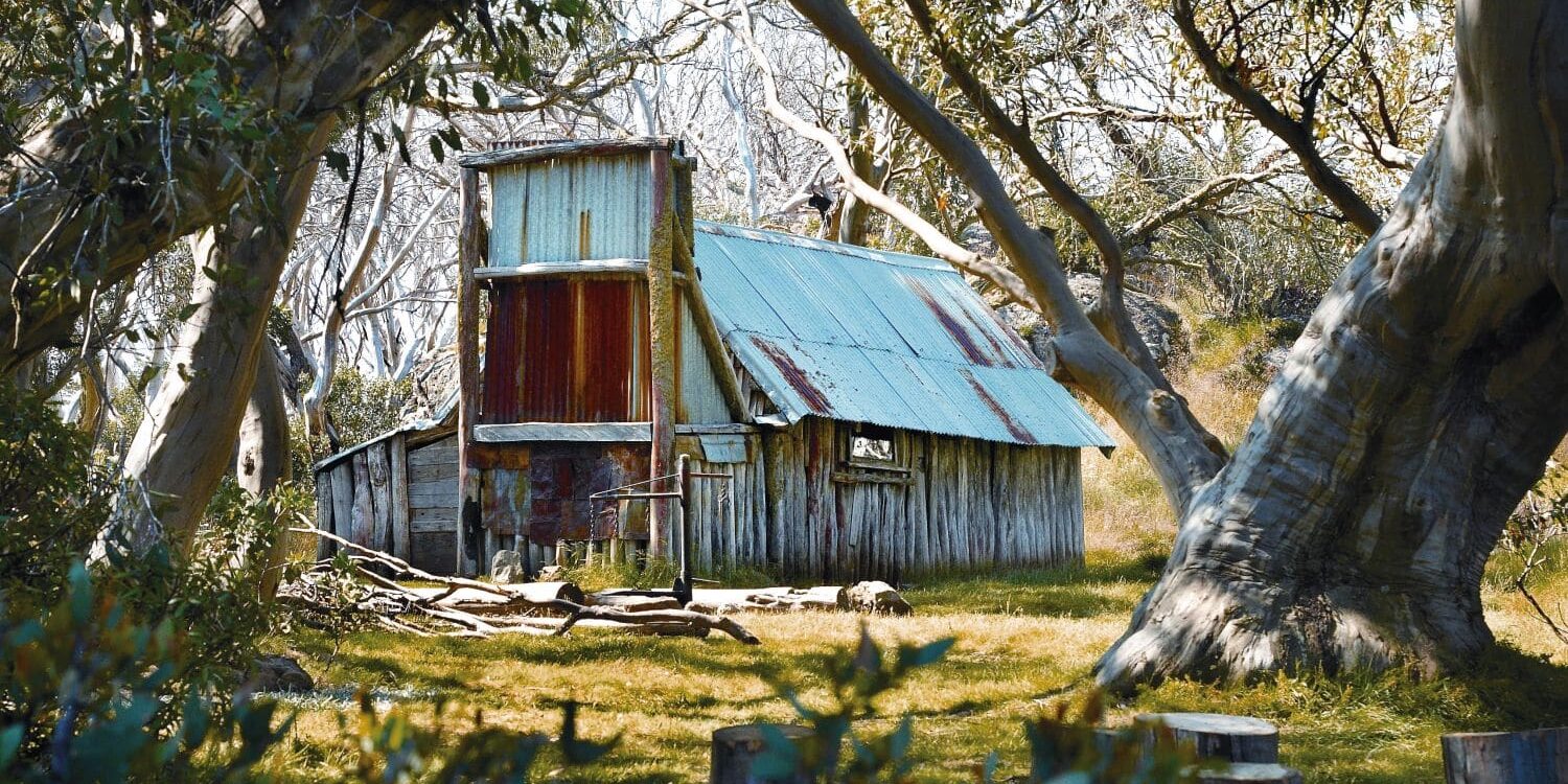
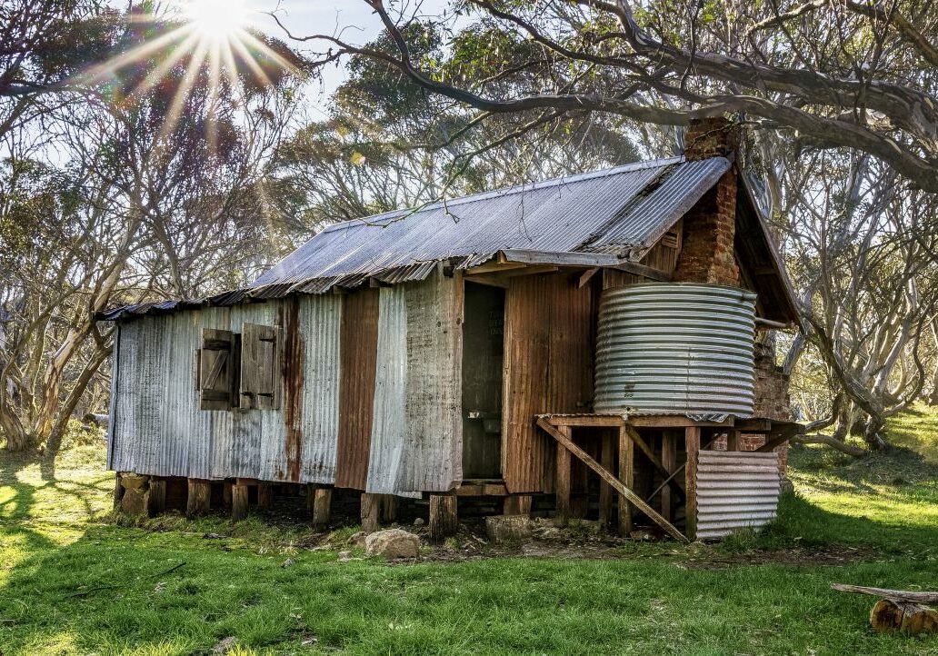
Dotted throughout the wild Australian Alps are historic huts with a story to tell. Here’s how you can find them.
ARTS & CULTURE
WHAT MAKES US UNIQUE
From Italian street festivals to autumn festivals, photography galleries and art galleries, get to know our creative side.

OTHER EXPERIENCES YOU'LL LOVE
Mountain Biking Lesson for Beginners
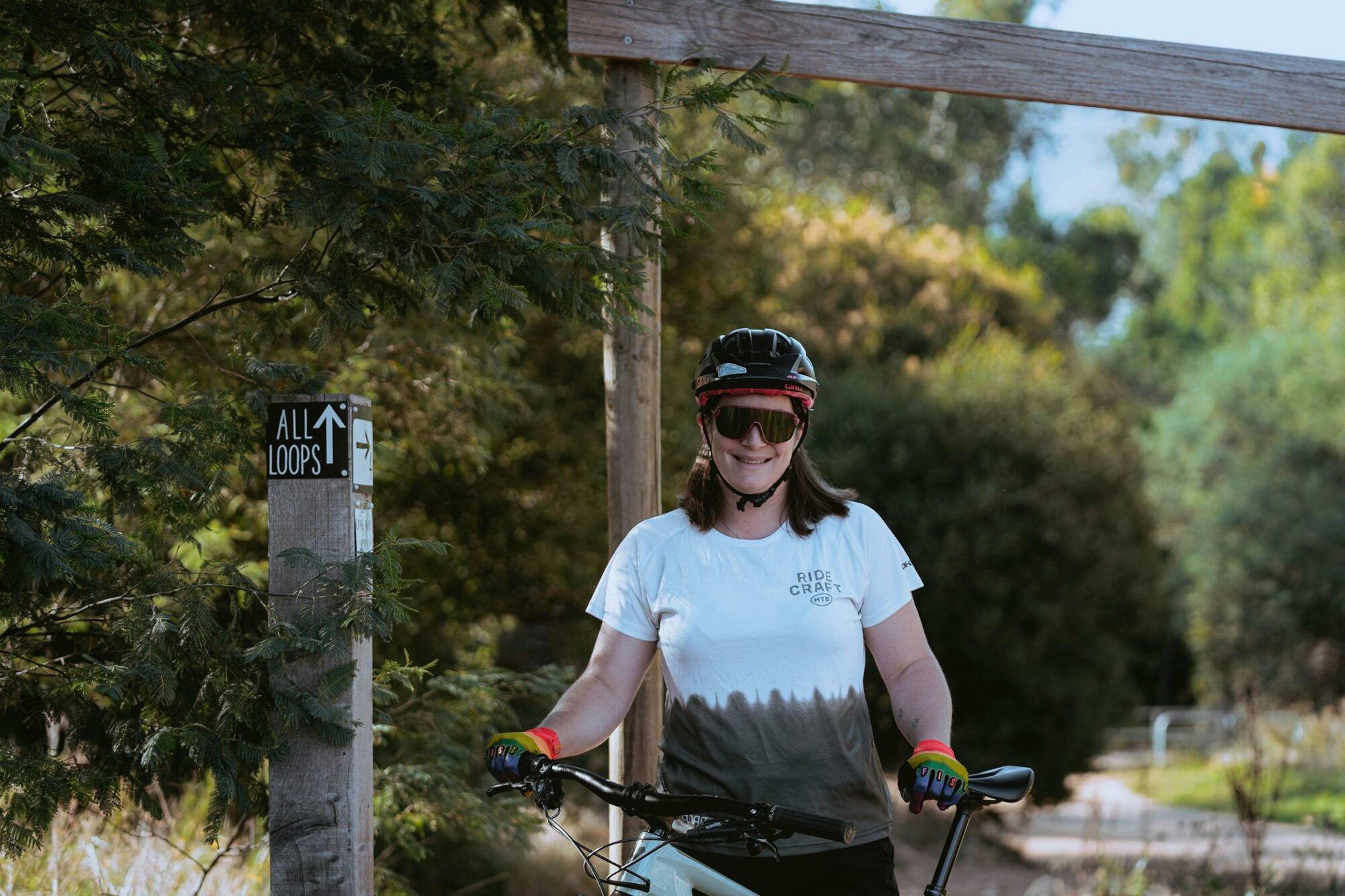
Are you keen to have a go at mountain bike riding – in a safe and fun environment? Have you always wanted to get your wheels on the dirt but don’t know how to start? Then their Mountain Biking for Beginners is the one for you! This session is suitable for Beginner riders (who can…
Cliff Picnics
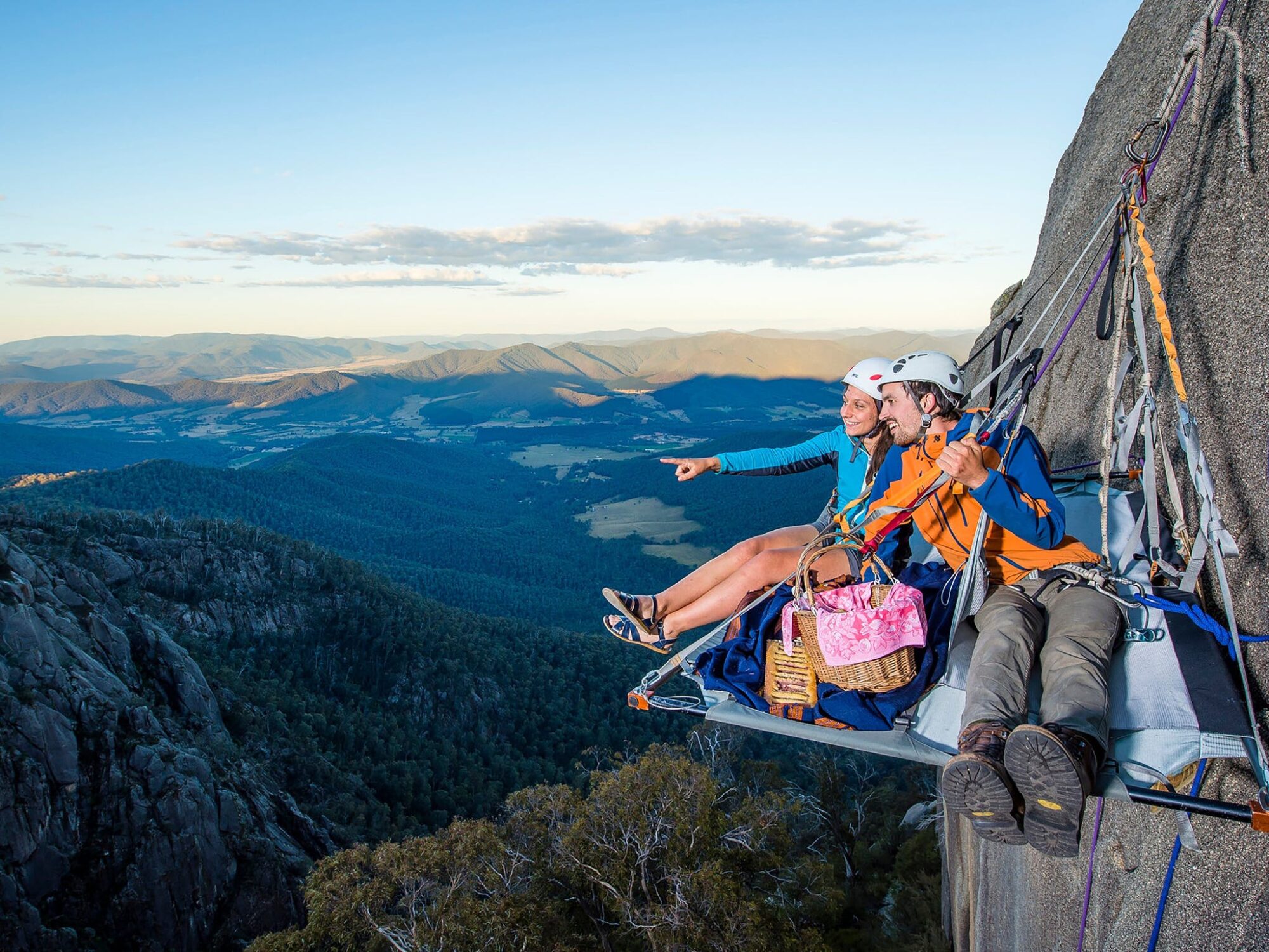
A truly unique experience on Mt Buffalo. Come dine with Bright Adventure Company on your private ledge suspended 300 metre above the valley floor. Enjoy local produce lovingly prepared whilst revelling in the majestic views from Mt Buffalo. Bright Adventure Company offer sunrise, lunch or dinner cliff picnic options available throughout the year and have…
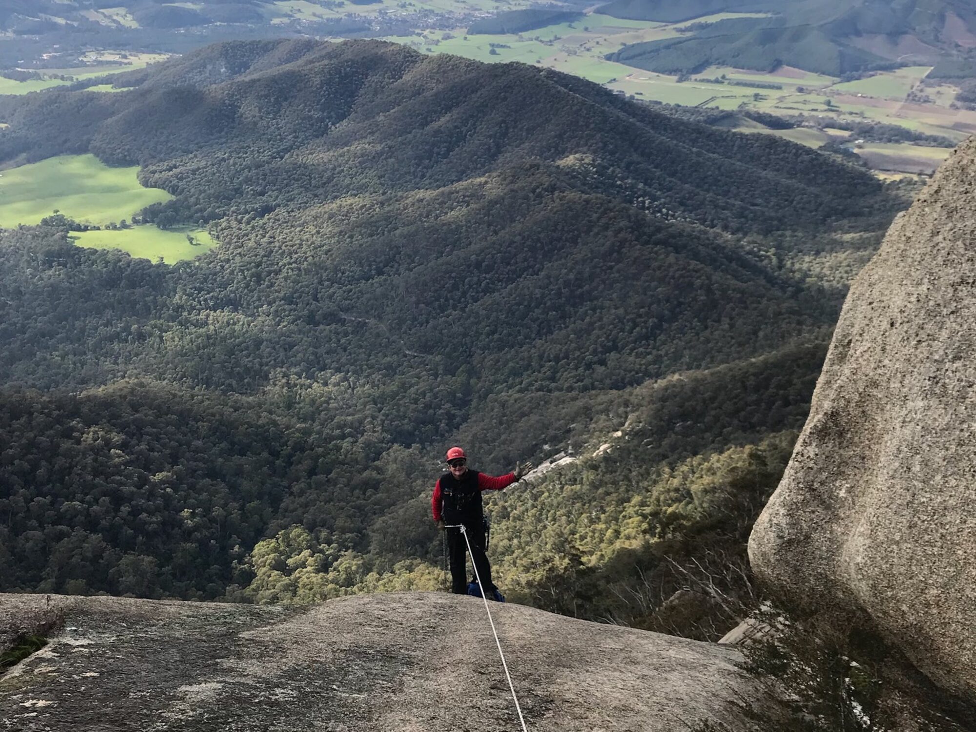
South Wall Advanced Abseiling (Full-day)
Feel like a full day adventure to challenge you mentally and physically? Tackle our South Wall Abseil. This 250 metre abseil can be a big challenge as the first pitch is 90 metre long looking over the Ovens Valley and out to the Australian Alps. The abseil has another four pitches followed by a hike…
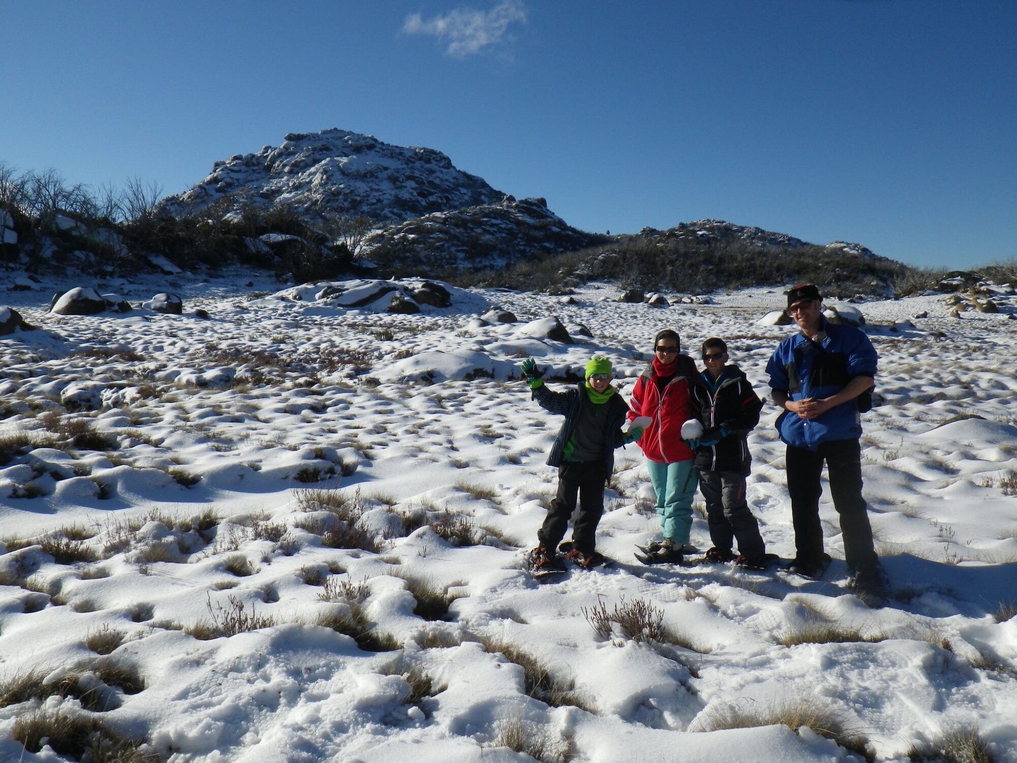
Half-Day Snowshoe Tour Cresta Valley (Snowshoes provided)
Enjoy the beauty of a snow-capped Mount Buffalo on a guided half-day snowshoe tour at Cresta Valley. Mount Buffalo Ski School tailor the length and difficulty of the tour to the group. Usually, they mix the route between marked and unmarked trails. This experience is provided by Mount Buffalo Ski School
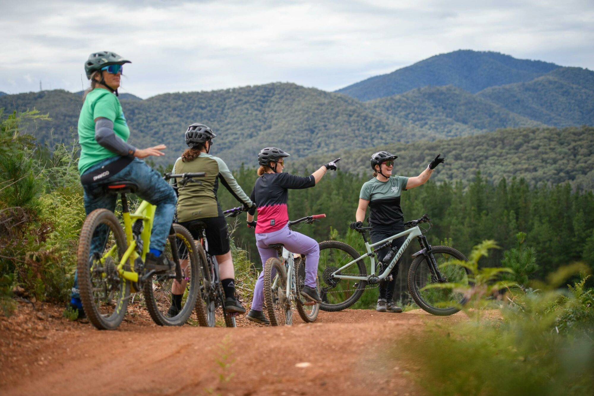
Guided Ride of Mystic Park, Bright
Want to ride Mystic like a local? They are incredibly lucky to call Mystic Park – one of Australia’s premier mountain bike parks – their backyard, and they know it like the back of their hands. Hit Hero and Shred Kelly but then head out and find some other hidden gems in Mystic’s 70 kilometres…
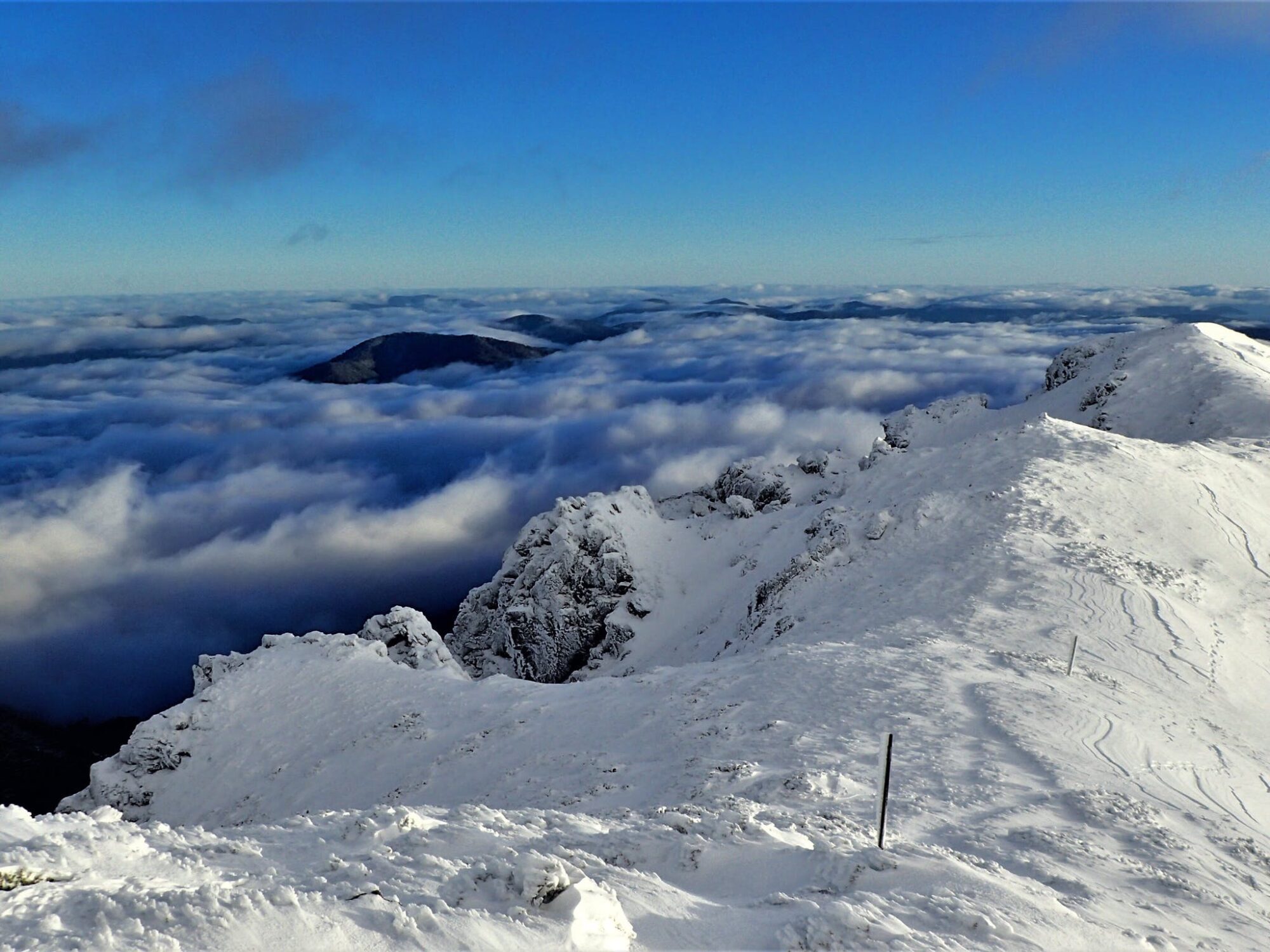
Mt Bogong Snowshoe Tour
The winter ascent experience on Mount Bogong, Victoria’s highest peak, in the snow. This adventure is for bush walkers and hikers who are excited to see the high country in winter. You will cover around 16 kilometres and return via the Staircase Spur track to the summit. The tour begins at Mountain Creek Camp car…

