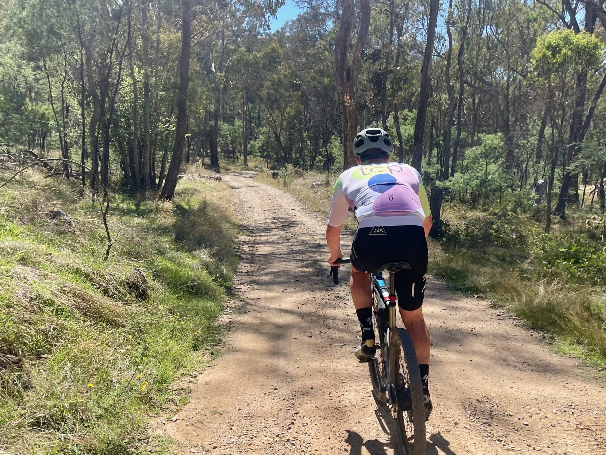
OFF ROADING
A 4WD TRIP UP GOLDIES SPUR
Pete the Local was right: these mountains really are full of tracks. You see them mysteriously darting off as you head up the Buckland Valley toward Goldies Spur Track, which climbs the southern boundary of Mount Buffalo National Park before dropping down to Lake Buffalo. You were told this track would be fairly easy with a short steep pinch thrown in for good measure. It’s been a while since you engaged the 4WD, so it sounds perfect.
Mount Buffalo presides over the rolling farmland to your right; a waterfall cascades down a cliff in the distance. After a while you turn onto Goldies Spur Road which turns into the track just past the last house.
“This is it! Let’s go!” you cheer as you accelerate up the first steep rise.
Your vehicle hums as it climbs the narrow road along the side of the range, and looking out the window you notice you can't see the bottom of the tight valley. Mount Buffalo is right there alongside, its granite rocks peeking out among the trees.
The pass tops out at 1,224m after 9km on the dirt and you pull up at a junction to enjoy the views of the mountain ranges to the south. There’s something about views from up high – they never disappoint.
Back in the 4WD, the track descends through bushland into the Buffalo River Valley, where you make a short segue left onto Yarrarabula Creek Road and a quick right onto the SEC Access Track that leads out to Buffalo River Road. You’re back on the seal now, driving along a quiet road that runs alongside Buffalo River as it gradually widens into a serene lake. Lake Buffalo, which snuggles up against the western slope of the mountain, is actually a small dam, but as you pull into the picnic area for lunch and a swim, it looks like it has always been there.
The day passes easily and after a few hours you bundle everyone back into the car and follow the road out for 24km to Myrtleford, where you keep with the Buffalo theme and stop in at the Buffalo Hotel for drinks and dinner.
What an awesome day. To think, you own this 4WD and barely use it.
The return drive to Bright comes in at 100km of which 26km is on dirt. You could have gone back the way you came, but completing the loop on the sealed section past the lake and into Myrtleford has been well worth it.
A round of drinks arrives at your table and its time to deliberate. What are you going to do tomorrow?
It looks like there are two dominant options, but you can only pick one. Which will it be?
Choose your next adventure, or scroll down for more offroading routes
GET ON THE OFF ROAD
4WD & DIRT BIKING ROUTES
MOUNT POREPUNKAH
This easy route stays close to Bright but packs a punch. Starting in town, turn into Star Road and then Toorak Road and Mount Porepunkah Road via Quinns Gap. Follow the signs to Mount Porepunkah where you will be rewarded with excellent views from the summit across Mount Buffalo and the Victorian Alps. Continue north on Mount Porepunkah Road to return to Bright via One Mile Creek Road and the Great Alpine Road via Porepunkah.
BLUE RAG RANGE
This difficult alpine track is one of the most spectacular in the High Country. Drive south from Harrietville on the Great Alpine Road and turn right onto the Dargo High Plains Road. Blue Rag Range Track will be on your right as you head towards Dargo. The track ends at Trig Point. Return the way you came in. This remote track reaches over 1,600m elevation and is closed in winter, but be aware that snow may fall anytime of year without warning. The track has a few very steep rocky sections. Two vehicles with experienced drivers are recommended.
CLEARSPOT LOOKOUT
Another easy route that stays close to Bright, but soars to fantastic heights. Start on Bakers Gully Road, continue on Clear Spot Road and then Demon Ridge Road, following the signs to Clearspot Lookout for expansive views of Morses Valley, Mount Buffalo and the Great Dividing Range. Return via Clearspot Road, turning left onto Demon Ridge track and return to Bright via Wandiligong Road. This 36km loop will take just over an hour.
MOUNT MURRAY
At 1,634m high, Mount Murray lookout in the Alpine National Park overlooks the remote Selwyn Creek and the Blue Rag Range. To get there, drive down Buckland Valley Road and follow Buckland River Road past Beveridge Station. Take the next left onto Mount Murray North Track and follow it to Twin Jeeps Track and turn left. Turn onto Mount Murray Track South, which will take you to the lookout. Drive back along the Twins Road to Mount Saint Bernard on the Great Alpine Road and back to Bright. A medium-level 4WD loop in scenic country.
STONEY TOPS
An enjoyable 4WD route that peaks near the summit of Mount Feathertop. From Bright, drive south on the Great Alpine Road. Turn onto Old Harrietville Road, then Snowy Creek Road, which turns into Dungey Track as you enter the state forest. Turn onto Stoney Tops Track and follow to the lookout. If you feel adventurous, it's a 4hr return hike to Mount Feathertop. This drive is easy until the last section of track which is over large rocks along a narrow ridgeline. This section is closed in winter due to snow.
GOLDIES SPUR
Goldies Spur Track is an easy scenic route that runs along the power line easement and south boundary of Mount Buffalo National Park. The drive has great views of The Horn and the Back Wall. To get there, drive along Buckland Valley Road and turn right on Goldies Spur Road. Follow the track over the gap to Buffalo River Valley, exiting via the SEC Access Track to Buffalo River Road. The Lake Buffalo recreation area is nearby. Return the way you came, or via Buffalo River Road and Myrtleford on the Great Alpine Road.
THE PLANTATIONS
Many gravel roads in Bright & Surrounds pass through private regenerative pine plantations owned by HVP Plantations. HVP permits entry to their workplace at your own risk after having read and accepted the conditions of their free online Human Powered Pass. As working forests, you are never permitted to enter an area that has been closed for forestry operations. Operations may occur anytime of year. Please look after our forests and stay on formed roads only. Thank you for your cooperation.
NATIONAL PARKS
The spectacular and rare alpine High Country of eastern Victoria provides a backdrop of endless views while 4WD touring and dirt biking. These areas are protected as Mount Buffalo National Park and Alpine National Park. The Alpine National Park in particular provides a plethora of stunning tracks. While some are easy, many are difficult, remote and recommended for experienced tourers only. For track conditions, contact Parks Victoria before you go. These alpine tracks close in winter due to snow cover and harsh conditions.
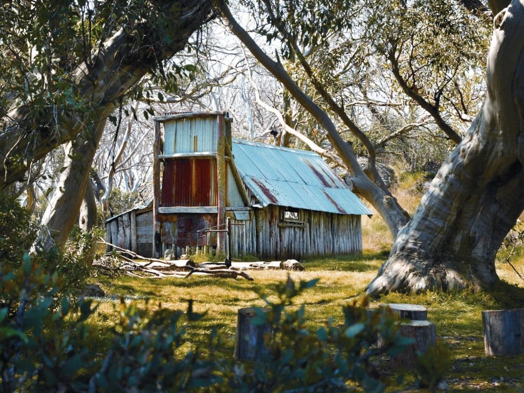
HISTORIC HUTS
DISCOVER OUR HIGH COUNTRY HUTS
Dotted throughout the wild Australian Alps are historic huts with a story to tell. Here’s how you can find them.
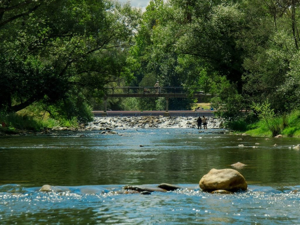
SWIMMING HOLES
COOL OFF THE NATURAL WAY
Take a dip in the river or cool off at a lake. Our natural swimming spots are the ideal way to spend a hot summer's day.
PREPARE FOR ANYTHING
From snow to bushfires, floods and gale-force winds, the weather in the High Country can be fierce and change rapidly. Always check conditions before venturing out, ensure your equipment is working and carry adequate food, water and warm clothing. Importantly, download the VicEmergency and the Emergency Plus apps to your phone.
Notify someone of your plans before you set out. Many parts of the High Country have poor or no mobile phone coverage. Emergency beacons and satellite devices are recommended for your safety.
LEAVE NO TRACE
Our region is sensitive to human presence. We are privileged to have endangered animals such as platypus, pygmy possums and alpine dingoes surviving in our environment. Your behaviour has a direct impact on our flora and fauna. When driving or riding, stay on formed roads and don't cut new lines. Protect our wildlife and the beauty of our environment by taking all rubbish with you.
Never light a fire on a Total Fire Ban day. When fires are permitted, always extinguish it completely before you leave. Enjoy our outdoors, and remember, leave no trace.
OTHER EXPERIENCES YOU'LL LOVE
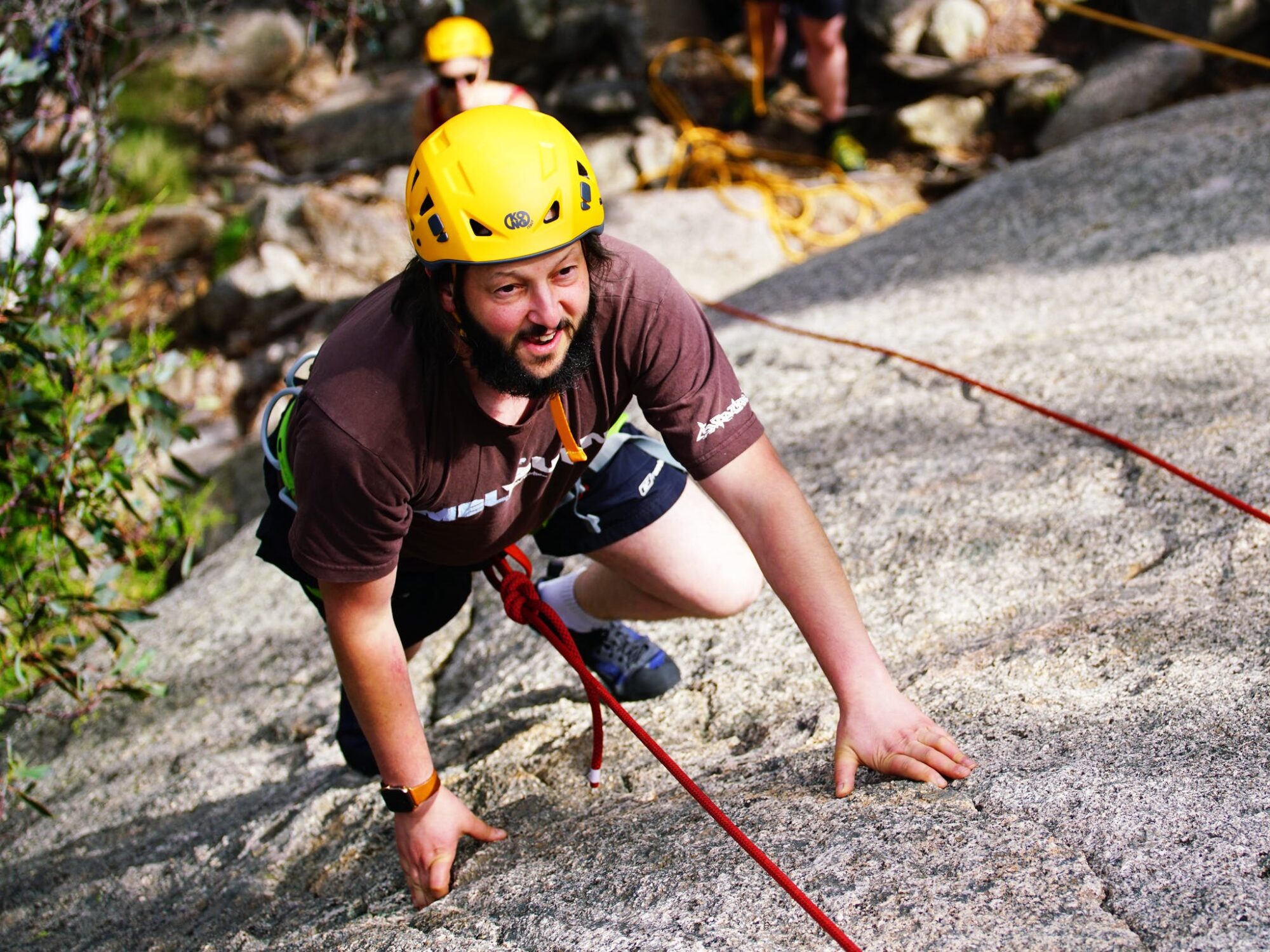
Rock Climb Mount Buffalo
Designed for the entry-level climber, those who have had some climbing experiences in the past or none. Fun for friends and family. Learn the figure 8 knot and how to belay!!This experience is provided by Adventure Guides Australia
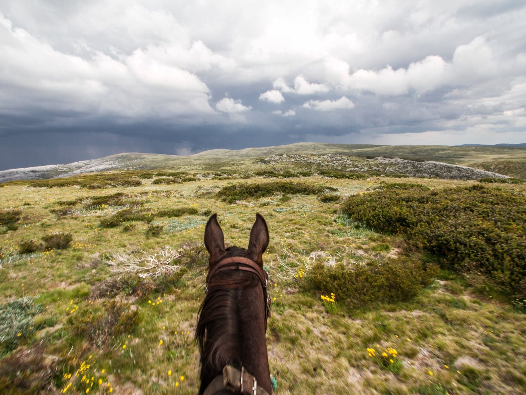
Bogong Horseback Adventures
Bogong Horseback Adventures has been running award-winning tours since 1986. With licensed access to the Alpine National Park and Mount Bogong, the riding landscape is truly spectacular. Based at our property Spring Spur, Bogong Horseback Adventures travel from rich mountain valleys to the vast Bogong High Plains and Victoria’s highest mountain, Mount Bogong. The award-winning…
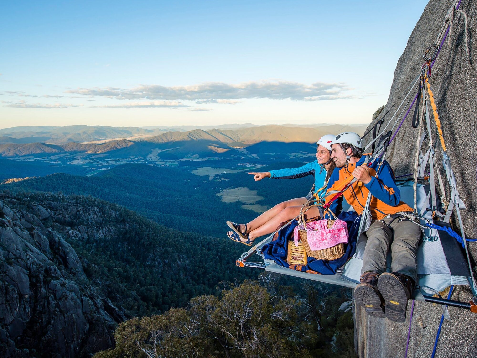
Cliff Picnics
A truly unique experience on Mt Buffalo. Come dine with Bright Adventure Company on your private ledge suspended 300 metre above the valley floor. Enjoy local produce lovingly prepared whilst revelling in the majestic views from Mt Buffalo. Bright Adventure Company offer sunrise, lunch or dinner cliff picnic options available throughout the year and have…
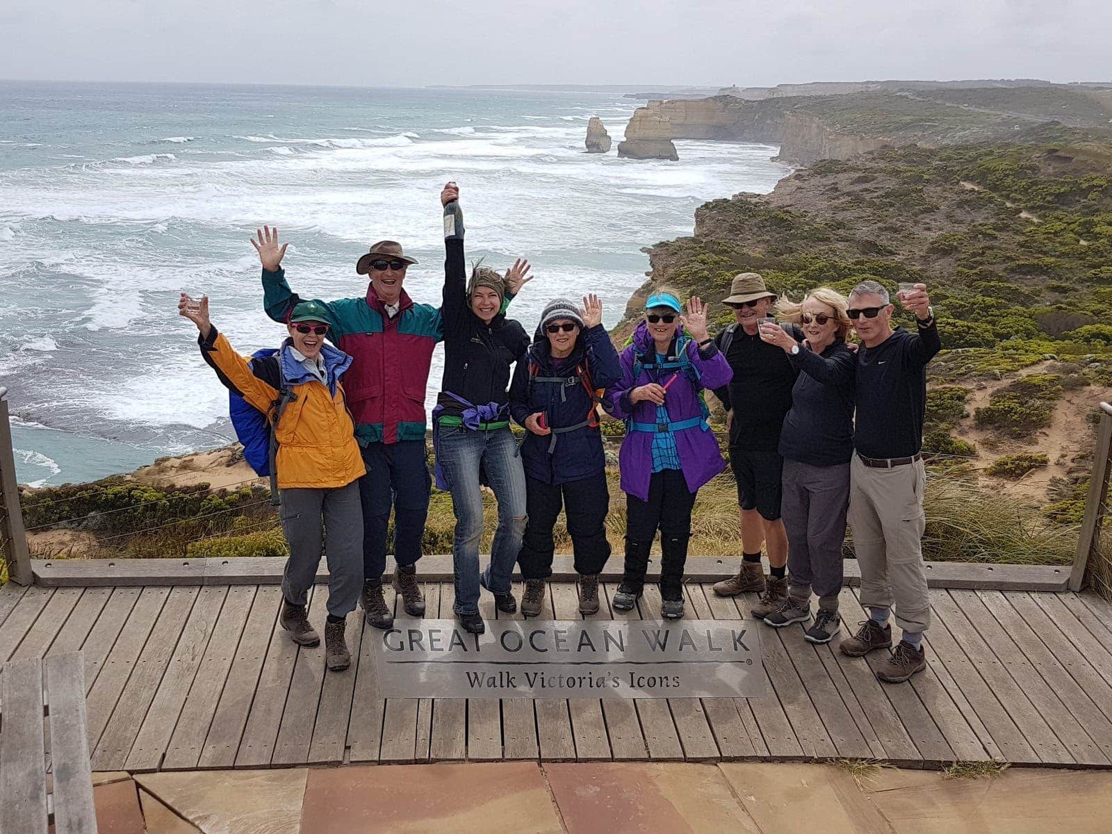
Hedonistic Hiking
Hedonistic Hiking is a small company operated by experienced guides Jackie and Mick Parsons. For over 15 years they have been offering all-inclusive luxury gourmet guided walking holidays in Victoria and Europe. In Australia the scheduled tours explore the Victorian High Country, the Grampians, the Goldfields Track and the Great Ocean Walk. The tour groups…
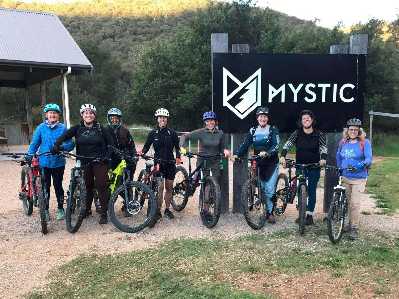
Group MTB Skills Session
Grab a group of mates and hit the trails with us! Take your riding to the next level with a MTB skills session just for you and your gang – these sessions cater for between 2-8 riders. You’ll have a highly-qualified coach all to yourself for these 3-hour sessions so you’ll get personalised feedback, and…

